If your property falls within an Erosion Management Overlay (EMO), such as the Dandenong Ranges, Yarra Ranges, or Gippsland, you may need a geotechnical or landslip risk assessment before you can build, renovate, or even extend your home.
These reports are designed to check how stable the ground is, particularly on sloping sites, and whether there’s a risk of ground movement or landslides now or in the future.
In many cases, local councils require this assessment as part of the planning permit process to ensure any construction is safe and won’t increase the risk of landslip, either on your land or your neighbour’s land. The results also help engineers design appropriate foundations, retaining walls, and drainage systems to keep everything stable in the long term. Engaging a team experienced in geotechnical engineering Melbourne ensures the right steps are taken from the outset.
The Importance of Conducting Landslip Assessments
Landslip (or landslide) risk assessments are usually triggered when:
- The area has a history of landslips
- There are visible signs of instability (like cracks or leaning trees)
- Your local council flags your property as part of an EMO
Every council handle EMOs a little differently, with varying rules and triggers. But generally, if your land has been zoned under an EMO, it means it’s been identified as having a higher risk of erosion or slope instability based on things like soil type, past incidents, slope angle and similar conditions to other nearby problem sites.
It’s important to remember that the steepest slope isn’t always the most hazardous, and Erosion Management Overlays (EMOs) aren’t always located where you’d expect.
Skipping this step can lead to major headaches. Without a proper assessment, you could be denied a permit, be forced to halt construction, or face costly redesigns. Worse, if your build causes instability, you could end up with cracked walls, sinking footings, or even be liable for damage to surrounding properties. Insurance claims may be denied, and resale or occupancy approval could be a challenge.
Bottom line? If you’re building on a slope, it’s worth doing the landslip assessment early. It’s a simple step that can save you a lot of time, stress, and money later on.
What Happens During a Landslip Risk Assessment?
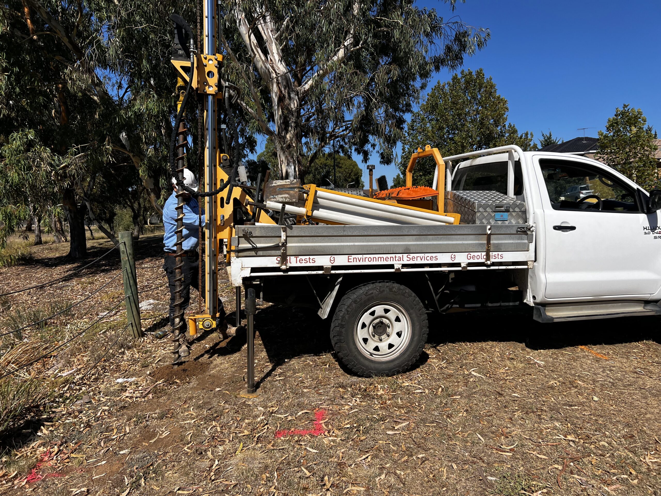
We kick things off with a desktop study, reviewing geological maps, local records, rainfall data, and the general lay of the land to decipher what type of assessment you may need.
In many cases, a Geotechnical Assessment Report serves as the initial step, offering an evaluation of the site’s ground stability and indicating if more detailed investigations are necessary.
If your property shows no real risk, that’s usually the end of the road. But if we spot anything concerning OR if council thresholds are triggered, you’ll need a full Landslip Risk Assessment to keep things moving with your application.
Here we assess how stable the slope is under both current and proposed conditions. We calculate how likely it is that a slope might fail during events like heavy rain, construction, or natural ground movement.
The next step is to weigh up how likely a landslip or failure is to happen, and what the consequences would be if it did.
Based on our findings, we can provide further advice and recommendations regarding the appropriate next steps, which may include engineering controls, the establishment of exclusion zones, or specific earthworks. Depending on your site, a land capability assessment may also be needed to evaluate the broader implications of development, especially if wastewater treatment systems are involved.
What’s in a Landslip Risk Assessment Report?
The final report compiles all key findings from the site investigation, along with practical recommendations to reduce risk, such as installing retaining structures, enhancing drainage, stabilising the soil, or managing vegetation. The document is formatted to meet council requirements and is ready to accompany your planning permit submission.
Keep in mind that risk tolerance levels vary depending on the type of development. A large-scale project like a hospital or school will be held to a much stricter risk standard than a residential build.
The information found in this report can also be used in lieu of a site classification report required for your build.
Understanding the Rules in Victoria
Each local council sets the rules for how landslip risks are managed under their EMO schedules. At Southern Geotechnical, we’ve worked with a wide range of clients, from homeowners and builders to government agencies and insurance assessors, to navigate these requirements and determine what is appropriate for each local council.
Our reports meet the guidelines set by the Australian Geomechanics Society (AGS 2007) and are signed off by registered geotechnical professionals, as required. We’ve got the qualifications, insurance, and local experience to make sure your assessment ticks every box.
How Southern Geotechnical Can Help
If you’re unsure where to start, we can liaise with you to discuss the site conditions, council requests/requirements and let you know what (if anything) needs to happen next.
We’re here to help! Simply reach out for a chat or organise an obligation-free quote. Contact us today on (03) 9551 0308.